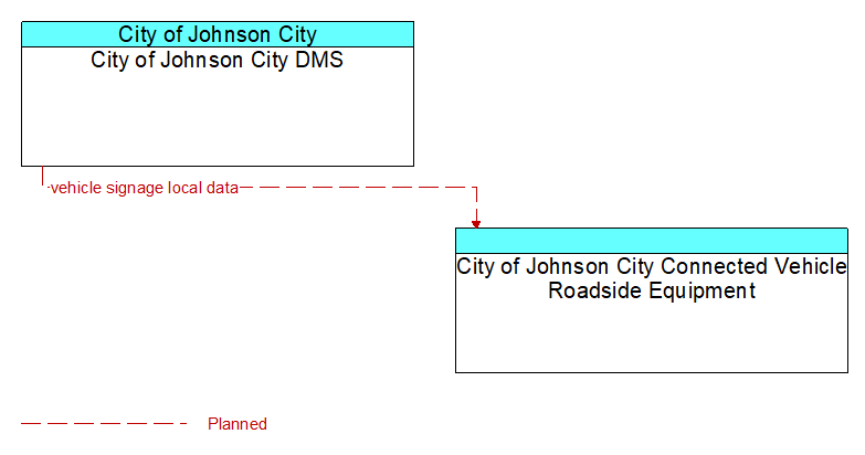
Interface: City of Johnson City DMS - City of Johnson City Connected Vehicle Roadside Equipment

Information Flow Definitions
vehicle signage local data (Planned)
Information provided by adjacent field equipment to support in–vehicle signing of dynamic information that is currently being displayed to passing drivers. This includes the dynamic information (e.g., local traffic and road conditions, work zone information, lane restrictions, detours, closures, advisories, parking availability, etc.) and control parameters that identify the desired timing, duration, and priority of the signage data.