|
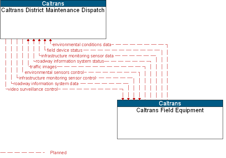
Interface: Caltrans District Maintenance Dispatch To Caltrans Field Equipment
Architecture Flow Definitionsenvironmental conditions data
(Planned)
Current road conditions (e.g., surface temperature, subsurface temperature, moisture, icing, treatment status) and surface weather conditions (e.g., air temperature, wind speed, precipitation, visibility) as measured and reported by environmental sensors.
environmental sensors control
(Planned)
Data used to configure and control environmental sensors.
field device status
(Planned)
Reports from field equipment (sensors, signals, signs, controllers, etc.) which indicate current operational status.
infrastructure monitoring sensor control
(Planned)
Data used to configure and control infrastructure monitoring sensors.
infrastructure monitoring sensor data
(Planned)
Data read from infrastructure-based sensors that monitor the condition or integrity of transportation infrastructure including bridges, tunnels, interchanges, pavement, culverts, signs, transit rail or guideway, and other roadway infrastructure. Includes sensor data and the operational status of the sensors.
roadway information system data
(Planned)
Information used to initialize, configure, and control roadside systems that provide driver information (e.g., dynamic message signs, highway advisory radio, beacon systems). This flow can provide message content and delivery attributes, local message store maintenance requests, control mode commands, status queries, and all other commands and associated parameters that support remote management of these systems.
roadway information system status
(Planned)
Current operating status of dynamic message signs, highway advisory radios, beacon systems, or other configurable field equipment that provides dynamic information to the driver.
traffic images
(Planned)
High fidelity, real-time traffic images suitable for surveillance monitoring by the operator or for use in machine vision applications. This flow includes the images and the operational status of the surveillance system.
video surveillance control
(Planned)
Information used to configure and control video surveillance systems.
|